
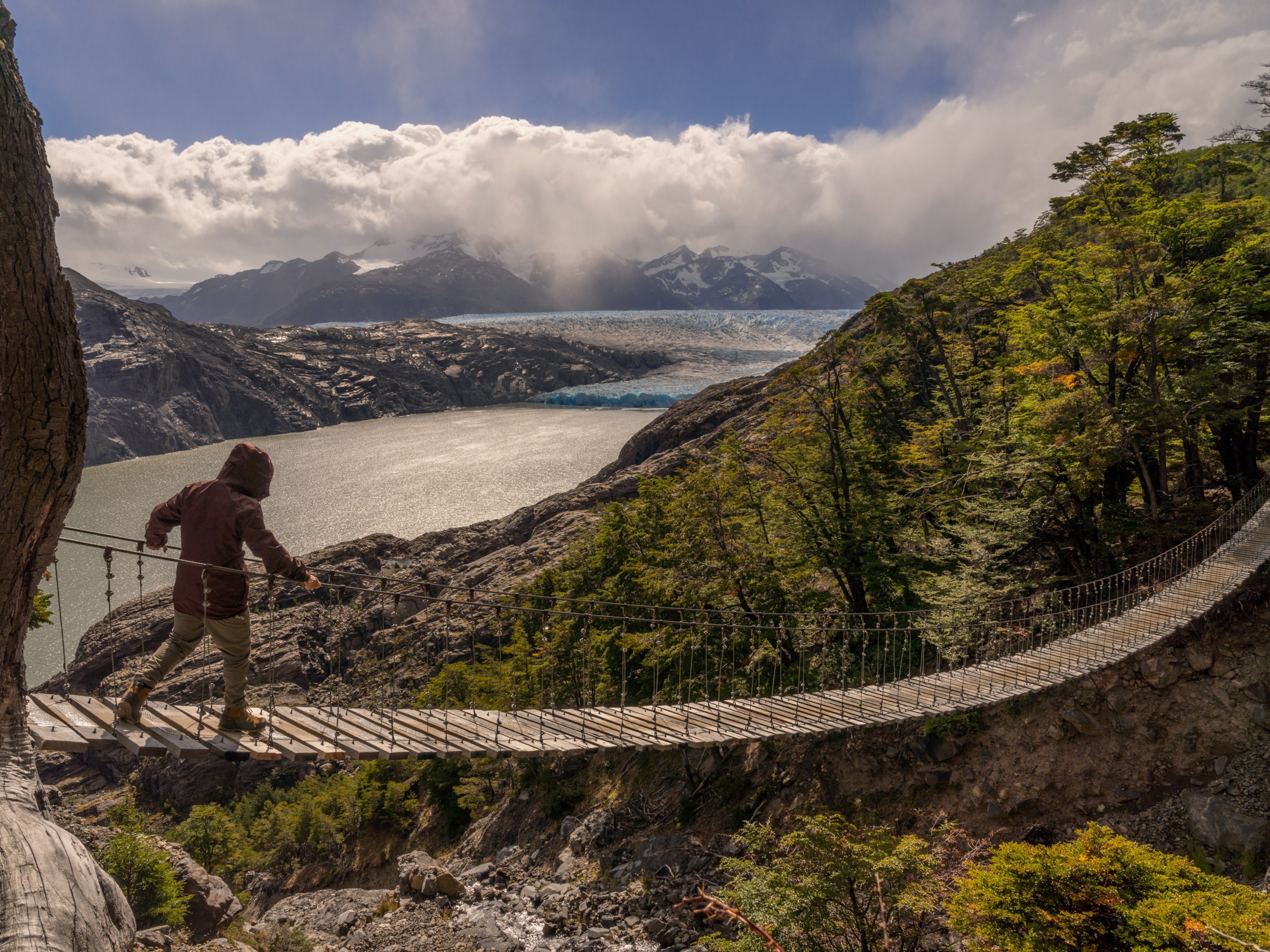
Photograph by Ken Barber, Getty Images
Dinosaur Diamond Prehistoric Highway
Loop through western Colorado and eastern Utah on I-70, US 40, 191, Utah 128, Colorado 139 and 64
May 12, 2015
6 min readDistance: 480 miles
Time: 3 to 4 days
Season: Spring through fall. Some side trips are on unpaved roads that can be impassable after rain or snow; check locally before proceeding.
Traces of prehistoric “thunder lizards” highlight the route through an expanse of Utah and Colorado. Dinosaur fossils and footprints date from 150 million years ago, when conditions were right for preserving the bones of huge plant-eaters and those of the fierce carnivores that preyed on them. As you drive this loop, you’ll pass rugged red-rock canyons, spectacular geological formations, and cottonwood-lined rivers flowing through rolling, arid, high-plains terrain.

Before visiting Dinosaur National Monument, begin your trip just over the Colorado state line near the town of Dinosaur. A 31-mile scenic drive starts at the park visitor center and winds north to Harpers Corner, near where the Green and Yampa Rivers meet.
You may want to head straight for the national monument’s Dinosaur Quarry north of Jensen, Utah. At the visitor center here you can see thousands of fossils of many species of dinosaurs.
Then follow US 40 west to Vernal. In the Dinosaur Garden outside the Utah Field House of Natural History State Park Museum are 18 life-size models, including the predator called Utahraptor, discovered in 1991. The museum itself is full of dinosaur skeletons and exhibits.
Vernal is also the headquarters for the Ashley National Forest, through which the route passes as US 191 heads west and south into Indian Canyon. Cliffs rise steeply beside the road as it climbs into coniferous forest at 9,100-foot Indian Creek Pass and then heads down to the small town of Helper. The Western Mining and Railroad Museum has exhibits on coal mining and railroads.
The route follows the Price River to Price—another must-stop for dinosaur buffs. The Utah State University Eastern Prehistoric Museum displays fossil dinosaurs and a cast of a mammoth skeleton.
For more dinosaurs, take a short side trip off the main loop. From Price drive south on Utah 10 for 12 miles to Utah 155 and turn east to Elmo and Cleveland. Follow signs to Cleveland-Lloyd Dinosaur Quarry, which has the most concentrated collection of Jurassic-era dinosaur bones known anywhere.
Back in Price, the loop heads southeast for 60 miles through rolling terrain and washes to meet I-70. Go east 25 miles and continue south on US 191. In about 15 miles, turn west on Mill Canyon Road (impassable after rain) to reach the Mill Canyon Dinosaur Trail. Your next side trip off US 191 might be on Utah 313 to the Needles section of Canyonlands National Park where you can catch a glimpse of the Green River before it joins the Colorado.
Just before you reach Moab on 191, you’ll find Arches National Park, the premier showcase of the rock formations that have made this region famous. More than 2,000 natural arches are here, as well as buttes, spires, and a vast variety of other shapes. Many formations can be seen from park roads, especially in the Windows area.
After Arches you can visit Moab, famed as a center of outdoor activities in this red-rock country, or pick up the Colorado River Scenic Byway. Over the state line, stop in Fruita to visit the Dinosaur Journey Museum, full of robotic dinosaur models, fossils, interactive displays, and dino-themed exhibits. After your museum visit, drive to Dinosaur Hill (1 mile south on Colo. 340) and view past excavations of several important dinosaur finds.
Fruita is the western gateway to Colorado National Monument, with its gorges and monoliths. Get an overview of the park along 23-mile Rim Rock Drive, a paved road with overlooks and interpretive areas offering far-reaching panoramas.
The loop returns to its start along Colo. 139, which climbs to excellent views at 8,240-foot Douglas Pass. The highway passes through Canyon Pintado National Historic District, a “painted canyon” with more then 200 Native American pictograph and petroglyph sites. Roadside signs identify several of these sites as you drive north to Rangely.
Map and information originally published in National Geographic's Guide to Scenic Highways and Byways
Side Drive: You may have encountered Native American petroglyphs before, but it's unlikely you've ever seen anything like the 600 symbols inscribed on the front page of Newspaper Rock.
Don't Miss: The "Wall of Bones" at Dinosaur National Monument's Quarry Exhibit Hall features more than 1,500 dinosaur bones still embedded in a rocky cliff face.
Be Safe: Many unpaved roads in this area are suitable for ordinary cars, but they often become impassable when wet, so be sure to check the weather forecast before setting out.
Motorcyclist Memo: When riding through this arid landscape, drink water early and often to avoid the dangers of dehydration.
Related Topics
You May Also Like


Go Further
Animals
- Octopuses have a lot of secrets. Can you guess 8 of them?
- Animals
- Feature
Octopuses have a lot of secrets. Can you guess 8 of them? - This biologist and her rescue dog help protect bears in the AndesThis biologist and her rescue dog help protect bears in the Andes
- An octopus invited this writer into her tank—and her secret worldAn octopus invited this writer into her tank—and her secret world
- Peace-loving bonobos are more aggressive than we thoughtPeace-loving bonobos are more aggressive than we thought
Environment
- This ancient society tried to stop El Niño—with child sacrificeThis ancient society tried to stop El Niño—with child sacrifice
- U.S. plans to clean its drinking water. What does that mean?U.S. plans to clean its drinking water. What does that mean?
- Food systems: supporting the triangle of food security, Video Story
- Paid Content
Food systems: supporting the triangle of food security - Will we ever solve the mystery of the Mima mounds?Will we ever solve the mystery of the Mima mounds?
- Are synthetic diamonds really better for the planet?Are synthetic diamonds really better for the planet?
- This year's cherry blossom peak bloom was a warning signThis year's cherry blossom peak bloom was a warning sign
History & Culture
- Strange clues in a Maya temple reveal a fiery political dramaStrange clues in a Maya temple reveal a fiery political drama
- How technology is revealing secrets in these ancient scrollsHow technology is revealing secrets in these ancient scrolls
- Pilgrimages aren’t just spiritual anymore. They’re a workout.Pilgrimages aren’t just spiritual anymore. They’re a workout.
- This ancient society tried to stop El Niño—with child sacrificeThis ancient society tried to stop El Niño—with child sacrifice
- This ancient cure was just revived in a lab. Does it work?This ancient cure was just revived in a lab. Does it work?
- See how ancient Indigenous artists left their markSee how ancient Indigenous artists left their mark
Science
- Jupiter’s volcanic moon Io has been erupting for billions of yearsJupiter’s volcanic moon Io has been erupting for billions of years
- This 80-foot-long sea monster was the killer whale of its timeThis 80-foot-long sea monster was the killer whale of its time
- Every 80 years, this star appears in the sky—and it’s almost timeEvery 80 years, this star appears in the sky—and it’s almost time
- How do you create your own ‘Blue Zone’? Here are 6 tipsHow do you create your own ‘Blue Zone’? Here are 6 tips
- Why outdoor adventure is important for women as they ageWhy outdoor adventure is important for women as they age
Travel
- This royal city lies in the shadow of Kuala LumpurThis royal city lies in the shadow of Kuala Lumpur
- This author tells the story of crypto-trading Mongolian nomadsThis author tells the story of crypto-trading Mongolian nomads
- Slow-roasted meats and fluffy dumplings in the Czech capitalSlow-roasted meats and fluffy dumplings in the Czech capital
