
What is the jet stream—and how does it influence the weather?
The air currents that drive the world's weather are being disrupted by climate change, here's how.
Jet streams are fast-moving currents of air that circulate above the Earth. When people refer to "the jet stream" they are usually referring to the polar-front jet stream or the subtropical jet stream, two major currents that shape weather patterns around the world.
Jet streams travel in the tropopause—the area between the troposphere and the stratosphere—that hovers between five and nine miles above the Earth's surface. These strong air currents look like wavy rivers when seen on a jet stream map and form when cold air and hot air meet. Their winds blow from west to east at speeds that range from 80 to 140 miles per hour, but they can reach more than 275 miles per hour.
Jet streams are stronger in winter because that's when the air temperature differences that drive them tend to be the biggest. The polar-front jet stream forms at about 60 degrees latitude in both hemispheres, while the subtropical jet stream forms at about 30 degrees.
But as the planet warms, these air currents are being disrupted and changing everything from our weather to air travel.
How jet streams affect the weather
Jet stream patterns have a big impact on the weather.
These currents are always changing—moving to higher or lower altitudes, breaking up, and shifting—depending on the season and other variables, such as energy coming from the sun. During winter, jet streams tend to move toward the equator, and they move back toward the poles in spring.
Air north of a jet stream is typically colder, while air to the south is usually warmer. As jet streams dip or break off, they move air masses around, creating shifts in global weather patterns. A large buckle in the jet stream, for example, is what pulled Hurricane Sandy ashore in New Jersey in 2012. And a wavy jet stream is partially responsible for the billion-dollar freeze that struck Texas in 2021.
Climate change and the jet stream
Because the Earth's polar regions are warming more quickly than the rest of the world, the temperature contrast that drives jet streams has decreased. On average, the Arctic is warming four times faster than the tropics.
Slower, weaker jet streams have been linked to melting in Greenland, which is particularly concerning because if all the country's ice were to melt, it could cause 23 feet of global sea level rise.
A potential rise in deadly weather events is expected to occur as the jet stream is increasingly disrupted. A 2022 study suggests the jet stream will became wavier and stagnant as the planet warms, allowing weather like extreme rainfall to "park" over a region and causing dangerous flooding.
Studies also have linked a warming Arctic with more severe winter weather in the United States, even though other reports note that on average, winter cold snaps are actually getting warmer because of climate change. Severe winter weather outbreaks result when a weak jet stream allows the polar vortex, a swirling low-pressure center at the North and South poles, to send cold Arctic air south.
These atmospheric currents are complex, and scientists are still trying to understand how these influential jet streams are changing.
One study published in 2023 found that some of the fastest winds moving through the jet stream—known as "jet streaks"—will move even faster as the planet warms and influences how much water vapor is held in the atmosphere. Quicker moving jet streaks may be responsible for a record-setting passenger flight that hit speeds of 800 miles per hour in 2019. While trans-Atlantic flights may be faster, the study also suggests turbulence will increase too.
Related Topics
You May Also Like


Go Further
Animals
- This ‘saber-toothed’ salmon wasn’t quite what we thoughtThis ‘saber-toothed’ salmon wasn’t quite what we thought
- Why this rhino-zebra friendship makes perfect senseWhy this rhino-zebra friendship makes perfect sense
- When did bioluminescence evolve? It’s older than we thought.When did bioluminescence evolve? It’s older than we thought.
- Soy, skim … spider. Are any of these technically milk?Soy, skim … spider. Are any of these technically milk?
- This pristine piece of the Amazon shows nature’s resilienceThis pristine piece of the Amazon shows nature’s resilience
Environment
- This pristine piece of the Amazon shows nature’s resilienceThis pristine piece of the Amazon shows nature’s resilience
- Listen to 30 years of climate change transformed into haunting musicListen to 30 years of climate change transformed into haunting music
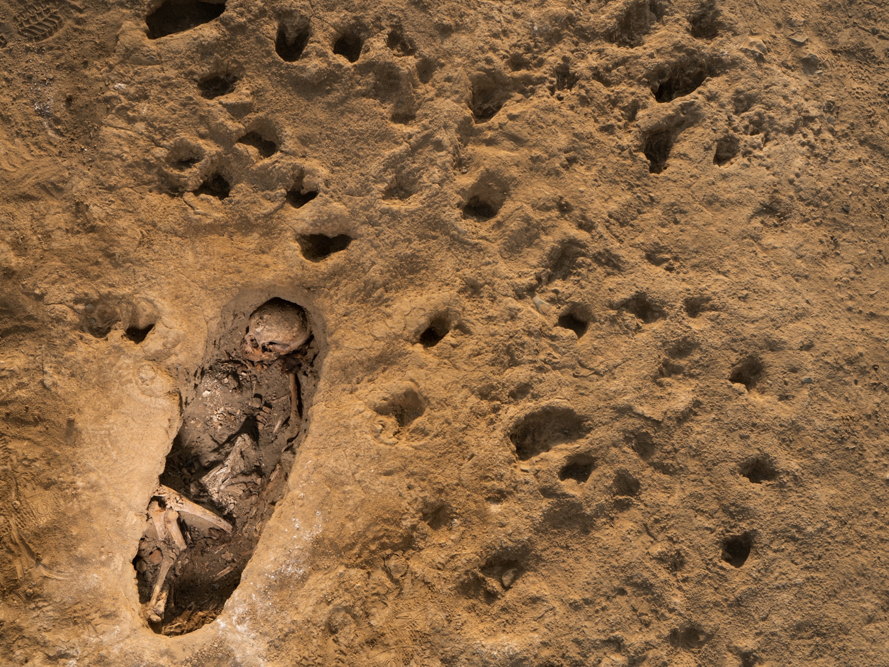
- This ancient society tried to stop El Niño—with child sacrificeThis ancient society tried to stop El Niño—with child sacrifice
- U.S. plans to clean its drinking water. What does that mean?U.S. plans to clean its drinking water. What does that mean?
History & Culture
- Séances at the White House? Why these first ladies turned to the occultSéances at the White House? Why these first ladies turned to the occult
- Gambling is everywhere now. When is that a problem?Gambling is everywhere now. When is that a problem?
- Beauty is pain—at least it was in 17th-century SpainBeauty is pain—at least it was in 17th-century Spain
- The real spies who inspired ‘The Ministry of Ungentlemanly Warfare’The real spies who inspired ‘The Ministry of Ungentlemanly Warfare’
- Heard of Zoroastrianism? The religion still has fervent followersHeard of Zoroastrianism? The religion still has fervent followers
Science
- Here's how astronomers found one of the rarest phenomenons in spaceHere's how astronomers found one of the rarest phenomenons in space
- Not an extrovert or introvert? There’s a word for that.Not an extrovert or introvert? There’s a word for that.
- NASA has a plan to clean up space junk—but is going green enough?NASA has a plan to clean up space junk—but is going green enough?
- Soy, skim … spider. Are any of these technically milk?Soy, skim … spider. Are any of these technically milk?
- Can aspirin help protect against colorectal cancers?Can aspirin help protect against colorectal cancers?
Travel
- What it's like to hike the Camino del Mayab in MexicoWhat it's like to hike the Camino del Mayab in Mexico
- Is this small English town Yorkshire's culinary capital?Is this small English town Yorkshire's culinary capital?
- This chef is taking Indian cuisine in a bold new directionThis chef is taking Indian cuisine in a bold new direction
- Follow in the footsteps of Robin Hood in Sherwood ForestFollow in the footsteps of Robin Hood in Sherwood Forest
