
Life, both big and small, returns to NYC’s 500 miles of coastline
The Big Apple has a rich and storied maritime history. Now, after centuries of degradation, both people and wildlife are finding their way back to city waters.
New York — A mile off the coast of the Bronx, in the Long Island Sound, the water vibrates with music blaring from loudspeakers on land. The seals that frequent this cluster of large boulders don’t seem to mind, slipping on and off the rocks with a view of Manhattan’s skyline glittering in the distance.
The music comes from Orchard Beach, a long vibrant curve on the edge of the city’s largest park—Pelham Bay Park, a 2,700-acre expanse of coastal forest, marshland, and hiking trails more than three times the size of Central Park. Rich with natural treasures, it is also one of those only-in-New-York places where Dominicans play dominoes in the parking lot, Russian-speaking men teach their grandchildren to fly kites on the sand, and hundreds of Puerto Ricans dance salsa on Sunday afternoons.


“When you think of New York City, you don’t really think of beaches,” says Carlos Santiago, a spry, white-haired DJ who has organized “Salsa Sundays” at Orchard Beach for some 40 years. Areas like this one are, in this way, somewhat rare: after years of development and degradation, many waterfront neighborhoods in the city have been left derelict and overlooked. But with 520 miles of coastline bordering saltwater bays, tidal rivers, and the Atlantic Ocean, New York has a rich and storied maritime history. And over the past few years, city residents—whether drawn in by improving coastal ecosystems, enraptured by videos of wildlife encounters on their social feeds or stung by the ill effects of climate change—are slowly turning again toward the sea.
An 'aquapolis'
Long ago New York felt more like a coastal city, not just a city that happens to be on the coast. “The human history of the place is incomplete unless you accompany it with a view of the natural history,” says Eric Sanderson, senior conservation ecologist at the Wildlife Conservation Society (WCS), a global environmental nonprofit based out of the Bronx Zoo.
For the past two decades, Sanderson has been documenting the socio-ecological history of this area. An interactive online map that accompanies his 2009 book, Mannahatta: A Natural History of New York City, provides a block-by-block geographic reconstruction of what the island of Manhattan would have looked like exactly 400 years earlier, when Henry Hudson and his fellow Dutch settlers arrived to its shores in 1609.
The region was then populated by the Lenape Indigenous people. Times Square was forested and likely home to meadow voles and Southern flying squirrels; Harlem was an expanse of coastal grassland; and neighborhoods closest to the waterfront—Alphabet City, Battery Park, and Chinatown—were wetlands and tidal marshes.

The Lenape lived off these aquatic ecosystems—shaped by the mega-diverse estuary of the Hudson River. “The waters, as far as we know, were famously productive,” says Sanderson. “Of the 550 Lenape sites that we were able to identify across the modern city, they’re almost all by the water.”
Dutch lawyer Adriaen van der Donck provides one of the earliest written accounts of such splendid coastal life in his 1641 Description of New Netherland. “Practically all of the waters and rivers in that country abound with fish,” he writes. Whales were regularly sighted and hunted far up the tidal Hudson. Seals, dolphins, and giant lobsters were abundant. There were some 350 total square miles of teeming oyster beds.


“Before the 20th century, when people thought of New York, they thought of oysters,” writes journalist Mark Kurlansky in his book The Big Oyster, a history of the bivalves in the city. The estuary of the lower Hudson had some 350 total square miles of teeming oyster beds. In the 17th and 18th centuries, the poorest New Yorkers lived on “nothing but oysters and bread,” able to walk out their doors and pluck the mollusks from the water for breakfast, lunch, and dinner. (Today a nonprofit called the Billion Oyster Project aims to restore the muck-filtering bivalves across New York waters.)
Such accounts provide a glimpse into a New York that once was as diverse in flora and fauna as it is today in peoples, cultures, and languages—a world lost to centuries of steady degradation as raw sewage, chemical pollutants, and heavy metals were dumped in the waterways by corporations; migratory shorebirds were captured for feathered hats; and marine mammals were hunted almost to local extinction.
“The baseline has been set so low that anything seems incredible here,” Sanderson says.

Despite so much corrosive human influence, some things are slowly getting better. Federal laws including the Clean Water Act and the Marine Mammal Protection Act, passed in the 1970s, have improved water quality and shielded certain species from hunting and harassment. Regional fisheries laws have limited the industrial harvests of baitfish like Atlantic menhaden, key to the food chain. The ecosystem is overall far healthier now than it was even a quarter of a century ago.
“Just beyond the high tide line here in New York, it may not be pristine, but it’s absolutely wild, it’s wild with wildlife,” says Merry Camhi, director of WCS’s “New York Seascape” program. “We are really a maritime city, and that’s why I like to call New York more of an aquapolis than a metropolis.”


And yet the vast majority of New Yorkers, Camhi continues, do not have a solid understanding of their city’s relationship with its coast. “We need to do that kind of groundwork in New York,” she says. “I think if people really did understand what was here, hopefully they would come to value it, and then they would help to become stewards of it.”
Back to the water
Initiatives aimed at bringing city residents closer to the water are expanding every year. “We have more and more inquiries from volunteer organizations that want to bring kayaking or swimming or fishing to local neighborhoods,” says Cortney Worrall, the CEO of the Waterfront Alliance, a nonprofit working to improve coastal access across New York. “Where people can reach the water, they are.”
The challenge lies in how to create infrastructure for safer and more sustainable waterfront access on a scale proportional to the city. In the past decade, several new parks and public greenspaces have opened or expanded on the waterfront, many upon former industrial sites. Some of the most heavily trafficked—such as Domino Park in Williamsburg, Brooklyn, and Gantry State Park in Long Island City, Queens—offer spectacular skyline views and are connected by a new system of public ferries.


Walking the many miles of grassland trails that make up Shirley Chisholm State Park—along Jamaica Bay, near the Brooklyn neighborhood of East New York—visitors encounter few indications that it opened in 2019 atop two of the largest landfills in the city. Nor might they be able to tell that the bay was long a dumping ground for sewage and chemical toxins.
Claudine Wate, who lives nearby, began visiting the new park during the height of the COVID-19 pandemic, grateful that it gave her and her partner a place to get some fresh air. She started fishing for local species: porgy, fluke, and bluefish. During the initial lockdowns, the catch was especially good. “Boats weren’t going out,” she says. “So the fish were coming in close.”


At the park pier, she found freedom from the confines of her small apartment in a neighborhood without much greenspace, as did many others. “There’s a sense of peace, of contentment, of community,” she says, noting the other residents around her. “I don’t know where most of these people live, but we all come here.”
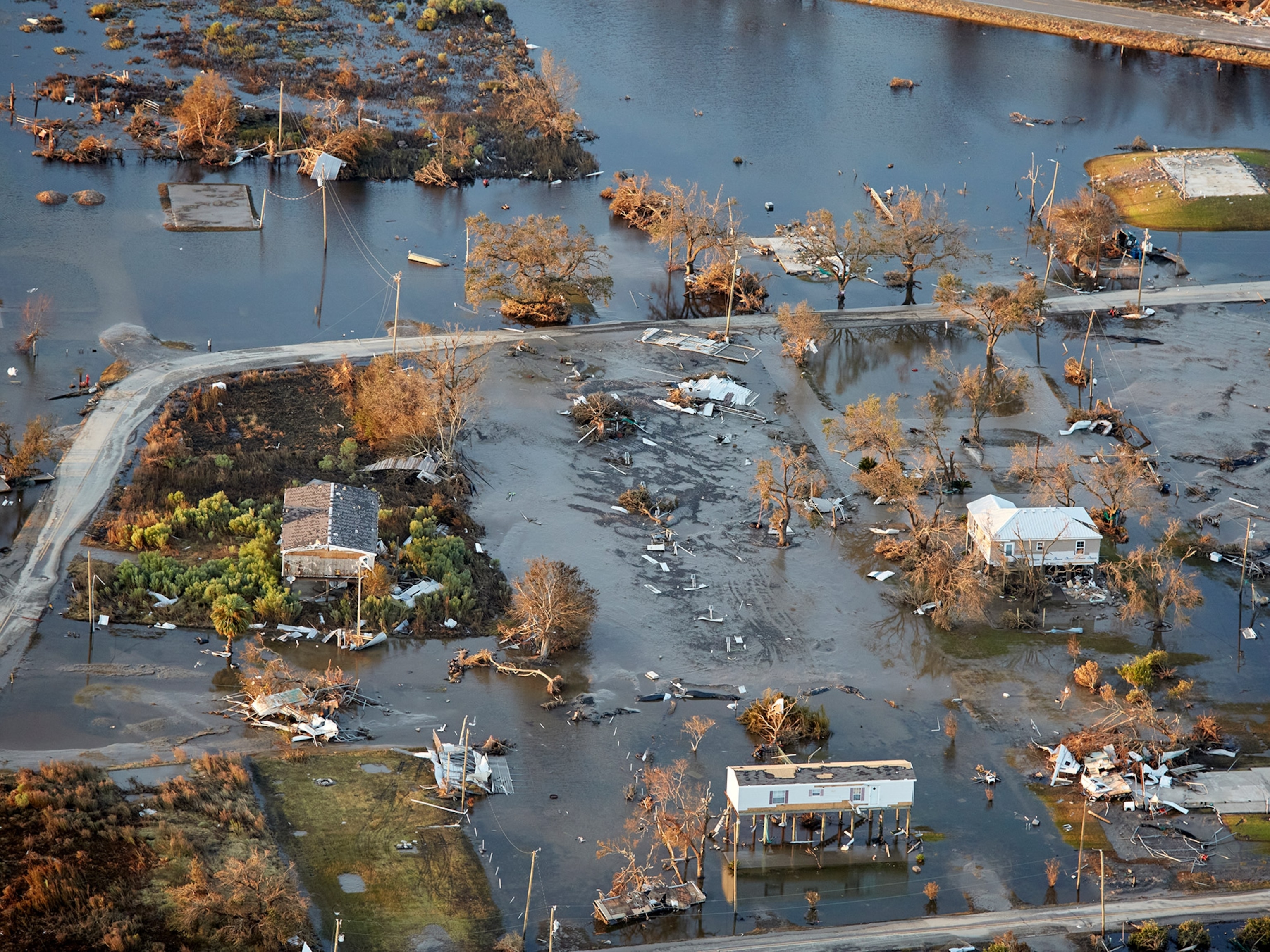
As people are once again getting closer to the water, the water is also coming closer to them. Many of the city’s coastal neighborhoods are also among its poorest, and have in recent years been devastated by storm surges and floods. According to the nonprofit Rebuild by Design, some 1.3 million people now currently live within or adjacent to the floodplain in New York City (due to sea level rise, that number is projected to grow to 2.2 million by 2100).


When Hurricane Ida barreled through the city in 2021, killing dozens with its floods, Sanderson—the ecologist whose retrospective maps reveal the natural history of New York—overlaid his maps of the five boroughs’ original landscape features with those of the worst-flooded neighborhoods and streets. “The maps of historic flooding in the city match up with my maps of historic streams in the city,” he says. Not only were many of the victims living in unregulated basement apartments, but crucially, they were in hugely flood-prone areas: paved-over creeks, drained salt marshes, and coastal barrier islands.
Despite the damage caused by these major storms—and other worsening effects of climate change—the city continues to rebuild in at-risk areas, much to Sanderson’s dismay.
“We like to think we can change everything, but we really can’t,” Sanderson says. “We’re all just visitors here.”

Wildlife encounters
Conservationists hope that people can continue to enjoy New York’s shores without disturbing the species that share them. One recent Saturday evening in the seaside neighborhood of Sheepshead Bay, Frank DeSantis prepared his 95-foot boat, the American Princess, for its second sail of the day in search of humpback whales. The young, bearded captain spent much of his early career on fishing boats, but when he started increasingly encountering marine mammals around 2010, he decided to make a business of it. For the past decade, he has been leading whale- and seal-watching cruises out of Queens and Brooklyn.


Aboard the American Princess, a family from Normandy, staying in a Times Square hotel, decided to join the expedition after learning about the whales on social media from a popular French Instagram influencer. A Colombian American woman from Rego Park, Queens, drove two hours to the dock at the recommendation of a friend. “You hear about whales in Boston,” she exclaimed, “but not in New York!”


Suddenly, amid a school of some 400 bottlenose dolphin, a humpback whale lunged spectacularly out of the water, feeding on baitfish. “And there’s the whale!” a naturalist on board bellowed into his microphone, identifying it as #231 from a thick logbook. The crowd gasped and pulled out their phones to document every splash of the giant cetacean.
While such encounters can be largely positive, social media has also increasingly blurred the line between actual and perceived wildlife presence. Some scientists point to a snowball effect in which increased urban habitat use leads to more human encounters, which will in turn likely lead to more attention and posts, and a slightly inflated sense of the situation.

Case in point: sharks. In recent years, with the popularity of drones and the ubiquity of social media, reported shark sightings have increased along New York’s shores, leading to controversial swimming restrictions.
As shark biologist Hans Walters puts it: “There may be more sharks in our waters. Or maybe there’s just more of us.”
You May Also Like


Go Further
Animals
- Orangutan seen using plants to heal wound for first timeOrangutan seen using plants to heal wound for first time
- What La Palma's 'lava tubes' tell us about life on other planetsWhat La Palma's 'lava tubes' tell us about life on other planets
- This fungus turns cicadas into zombies who procreate—then dieThis fungus turns cicadas into zombies who procreate—then die
- How can we protect grizzlies from their biggest threat—trains?How can we protect grizzlies from their biggest threat—trains?
Environment
- What La Palma's 'lava tubes' tell us about life on other planetsWhat La Palma's 'lava tubes' tell us about life on other planets
- How fungi form ‘fairy rings’ and inspire superstitionsHow fungi form ‘fairy rings’ and inspire superstitions
- Your favorite foods may not taste the same in the future. Here's why.Your favorite foods may not taste the same in the future. Here's why.
- Are the Great Lakes the key to solving America’s emissions conundrum?Are the Great Lakes the key to solving America’s emissions conundrum?
- The world’s historic sites face climate change. Can Petra lead the way?The world’s historic sites face climate change. Can Petra lead the way?
History & Culture
- Meet the ruthless king who unified the Kingdom of Hawai'iMeet the ruthless king who unified the Kingdom of Hawai'i
- Hawaii's Lei Day is about so much more than flowersHawaii's Lei Day is about so much more than flowers
- When treasure hunters find artifacts, who gets to keep them?When treasure hunters find artifacts, who gets to keep them?
Science
- Why ovaries are so crucial to women’s health and longevityWhy ovaries are so crucial to women’s health and longevity
- Orangutan seen using plants to heal wound for first timeOrangutan seen using plants to heal wound for first time
Travel
- Why this unlikely UK destination should be on your radarWhy this unlikely UK destination should be on your radar
- A slow journey around the islands of southern VietnamA slow journey around the islands of southern Vietnam
- Is it possible to climb Mount Everest responsibly?Is it possible to climb Mount Everest responsibly?
- 5 of Uganda’s most magnificent national parks
- Paid Content
5 of Uganda’s most magnificent national parks
